
Find a Lakewood Street Directory
A Lakewood street search works best when each record answers one narrow question. Start with the physical address, then preserve the parcel number and the legal description that identify that land. MyPlace can show the present parcel and owner field. The Recorder can connect that parcel or party to a recorded deed. A dated directory can then identify an occupant for its own publication year. Those are different findings, so label them that way instead of treating any one result as a current household list.
The practical order is address to parcel, parcel to owner or transfer, then owner or parcel to the deed image. A street directory search may add an older listed occupant after the property is anchored. Ohio’s voter lookup is useful only after a person is already known; it requires a first name, last name, and county, with a Street Name control that can narrow a result. It is not a whole-street browse tool.
- Search the address in Cuyahoga MyPlace, select Lakewood under City, and save the parcel ID, situs address, and legal-description text.
- Open the parcel’s Transfers tab. Record the transfer date and the grantor and grantee before moving to a deed search.
- Use the Recorder’s party, parcel, address, or legal-description criteria to find the matching filing. Compare the legal description before accepting a common-name match.
- For a dated occupant, consult an address-index or criss-cross directory and retain the directory year beside the address.
- Use the voter route only to confirm an already identified person where the record is public, then respect exclusions and no-match limits.
Note: Keep the address exactly as each source writes it, then record any modern equivalent separately when reconciling older entries.
Lakewood Street Parcel Search
MyPlace is the first current-record stop. Select Lakewood in City, choose Owner, Parcel, or Address, and open the result. It provides the parcel, owner, situs, municipality, ZIP, and tabs for transfers, values, land, building details, permits, taxes, and related documents. The map is useful, but the deed image or office record controls a disputed fact.
A City selection is not a postal boundary. Lakewood parcels can use 44107 or 44111, so verify a delivery ZIP through USPS instead of assigning it from the municipality.
The Cuyahoga Fiscal Officer property-tools page is the source for this screenshot.
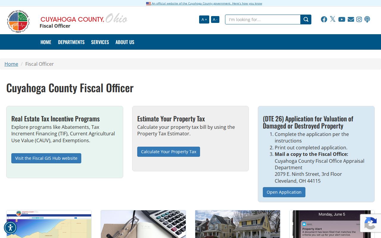
Use the image as a reminder that a parcel result is a property record. It may identify an owner and physical location, but it does not establish every person living there.
Lakewood Street Search Fields
MyPlace does not offer a single free-form street-directory box. Its inspected controls direct the searcher to choose the City, select a search mode, and enter an owner, parcel, or address clue. That design matters. Entering an exact address is the reliable route to one property; the Download Addresses action returns parcel and address data, not verified residents.
| MyPlace field | Input | Required | Lakewood use |
|---|---|---|---|
| City | Dropdown | No | Select Lakewood to focus the county property search. |
| Search By | Radio choice | Yes | Choose Owner, Parcel, or Address. |
| Search | Autocomplete text | Yes after mode selection | Enter the address or other selected clue. |
| Search Results / View Map | Buttons | Not stated | Open a result, or zoom and click a parcel on the map. |
| Download Addresses | Result action | Not stated | Exports parcel and address results as CSV, not an occupant roll. |
| Transfers | Parcel tab | Not stated | Supplies the date and party path into older recorded documents. |
For Lakewood street work, copy the permanent parcel number before opening older records. A street address can be renamed or formatted differently over time, while the parcel and legal description provide a stronger bridge between the present map and a historic filing.
Lakewood Street Record Layers
Address-keyed Lakewood records are held by different custodians and have different limits. MyPlace connects a current parcel to transfer, tax, building, and map information. The Recorder index provides the recorded-property trail. The City’s older permit cards can date construction or alteration. Archives and the Map Room take over where the online trail becomes thin. Directories are a separate, dated occupant layer. Use the record that matches the question instead of making one source do all the work.
| Lakewood street source | Custodian | Address evidence | Access route |
|---|---|---|---|
| MyPlace parcel record | Cuyahoga Fiscal Officer | Parcel ID, owner, situs, taxes, transfers, building data, permits, and map. | City plus Owner, Parcel, or Address search, then parcel or map click. |
| Recorder deed index and image | Fiscal Officer Transfer & Recording | Parties, document type, recorded date, legal description, and sometimes an address. | Quick or advanced criteria for party, parcel, address, dates, or legal fields. |
| Permit microfiche | Lakewood City records | Construction and alteration chronology. | Scheduled City Hall appointment; the local guide places the start around 1905. |
| Map Room and Archives | Cuyahoga County | Historic maps, tax material, owner context, and appraisal cards. | Counter, phone, or appointment with the parcel number ready. |
| Address-index directories | Library collections | Listed occupant at a particular address and often occupation. | Use the dated volume; the Cleveland address index begins in 1929. |
| Voter confirmation | Ohio Secretary of State and Board of Elections | Registration information for a searched person, where public. | Person-plus-county lookup, not a street roster. |
A property owner, a tax-mail recipient, and a directory occupant can all be different people. Keep the source type and date with each name. For disputed ownership or boundary facts, inspect the deed image or official office record rather than relying on the County’s as-is map display.
Lakewood Street Recorder Trail
The Recorder’s advanced form is the depth route after MyPlace supplies a parcel or party. It separates Party Names, Grantor, and Grantee, then adds recorded and instrument date ranges, document type and number, parcel ID, property address, volume and page, image phrase, and legal-description fields. Party entries use LASTNAME FIRSTNAME and are added with Enter. Dates use MM/DD/YYYY. The County says its recorded-document index reaches filings from 1810 to the present, but the correct deed still depends on the legal-description match.
The Official Records Advanced Search is shown in this screenshot.
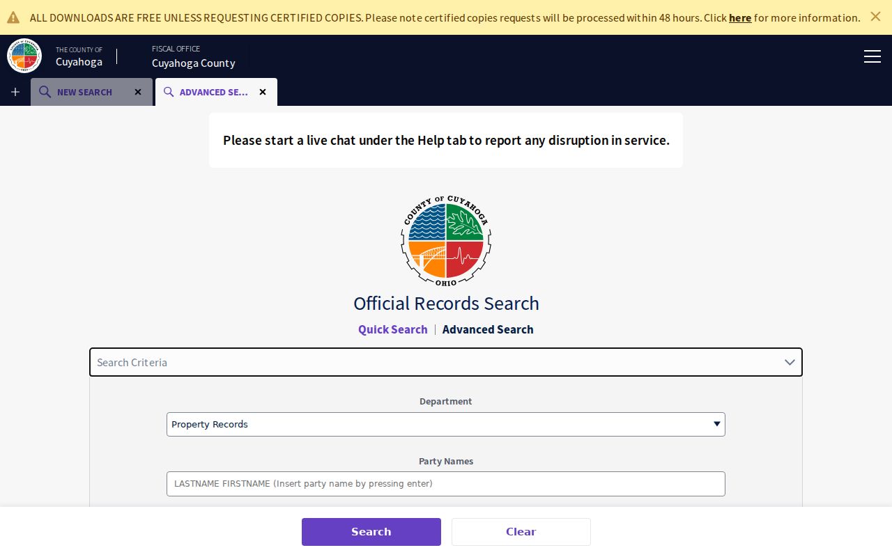
Once a deed opens, record the parties and recorded date, compare the legal description, and check the document type. A search can also return mortgages, releases, liens, and plats, so a party-name hit alone is not a deed-chain answer.
Lakewood Street Permit Trail
Building records can date a structure or a later alteration, which makes them useful alongside a parcel and deed trail. The local house-history guide places Lakewood permit material from about 1905 on microfiche in the City Hall basement, available by appointment. A card may record original work, additions, remodeling, or a garage. It does not prove who occupied the address. For current material, use the City’s current inspection and request channels; no verified citywide historical permit-name search was found.
The City building-records page supplies this screenshot of a Lakewood address-record access channel.
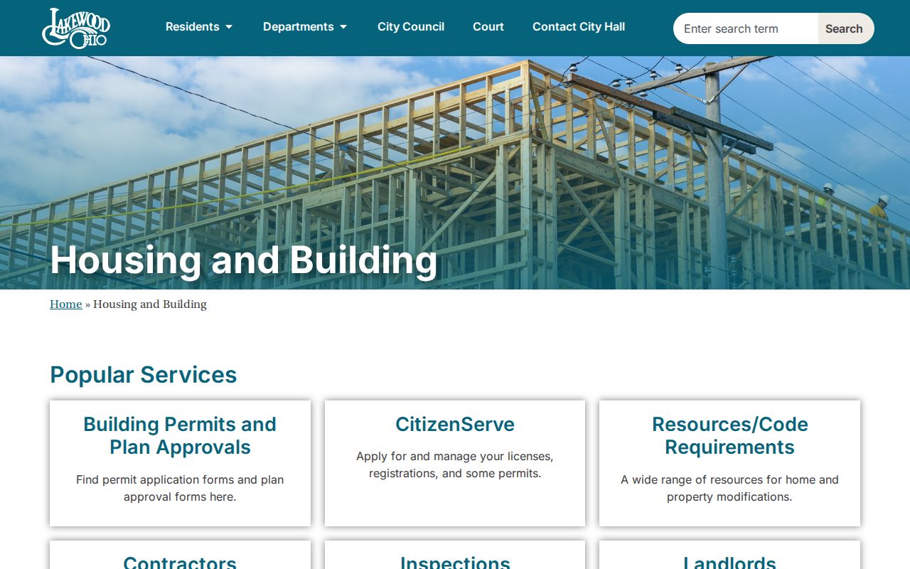
Use a precise project address or permanent parcel number when arranging research. That gives City staff a retrievable record to locate and avoids treating applicant fields as a resident listing.
The City inspection and code-compliance route is pictured below.
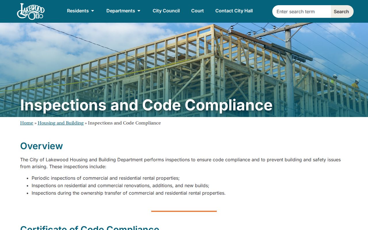
CitizenServe and the downloadable request route serve current inspections. Older microfiche needs an appointment, so a missing online result is a reason to change channels rather than assume no permit exists. For a specific City-held record, NextRequest, phone, in-person, email, and written requests are documented channels.
Note: Permit material dates work on a structure, not the complete history of people associated with its street address.
Lakewood Street Names Shift
Older Lakewood street research needs an alias check. The Historical Society records that Kirtland Avenue became Bunts Road. A modern address result can therefore fail to reveal a directory, deed, or tax-map reference filed under the older name. Preserve the parcel ID and legal description before switching names. They connect a physical lot across changing labels more safely than a street name alone.
Street form also varies within Lakewood. Middle Lakewood is largely a grid-platted area developed from the 1890s through the 1920s, while Clifton Park has curving, park-like streets. Exact transcription matters on a curving street, in a subdivision, or when an old volume uses an earlier name. Keep the source date, address as written, normalized current address if known, and parcel identifier together.
Lakewood Street Tax-Mail Myth
A tax mailing address is correspondence information, not proof that someone lives at the physical parcel. MyPlace’s situs address is the parcel itself. Its mailing field can belong to an owner, trust, business, attorney, or another recipient elsewhere. A historic directory can identify an occupant for its own year, but that person may not have owned the property. This distinction prevents a common false address claim.
Use the parcel’s situs, a dated directory entry, and the deed’s legal description for different purposes. Do not merge them into a single statement about present residence. A physical location can be well documented even when the public record does not identify all current occupants.
Note: When sources disagree, retain both entries and ask the custodian about the record’s scope instead of guessing which address is current.
Lakewood Street Directory Entries
Historical address indexes add the occupant layer that parcel and deed records do not provide. Cleveland directory volumes begin an address-index route in 1929. The local chronology then changes: Cleveland volumes include Lakewood before a separate Lakewood run from the late 1940s into the early 1960s, and West Suburban directories take over in the 1970s. Read the particular book’s year before drawing a conclusion. A named person is a listed occupant in that dated volume, not proof of current presence.
The historical collections themselves are described on the Lakewood city directory collections page. For street work, take only the address-index entry needed to compare against the parcel and deed trail. This keeps the address angle focused without turning one old line into a claim about ownership.
Insider tip. Compare a directory occupant with the MyPlace parcel and a matched deed before labeling anyone as an owner of a Lakewood address.
Lakewood Street Voter Limits
Ohio’s voter lookup is a confirmation route for a person already suspected to be registered. Select Cuyahoga County, enter the first and last name, then use Street Name if it appears to narrow the result. It can help with registration, precinct, and polling-location information. It cannot identify every person at an address or create a reliable roster from a block or road name.
Public voter data excludes important categories, including protected registrations and Safe at Home participants. Children, unregistered eligible people, noncitizens, inactive or cancelled records can also be absent. A no-match proves neither that a person does not live in Lakewood nor that the address is wrong. Direct record questions belong with the Cuyahoga County Board of Elections.
Lakewood Street Archive Handoff
When MyPlace reaches its local January 1, 1975 handoff, change the record medium. The house guide directs earlier work to the Recorder, Map Room, County Archives, and dated directories. Archives holds tax records from 1819 through 1986, original maps from 1860 through 1945, and atlas years including 1852, 1874, 1892, and 1903. The Map Room supports originals from about 1945 forward. Archives property research requires an appointment.
The Cuyahoga County property-research instructions are the source for this screenshot.
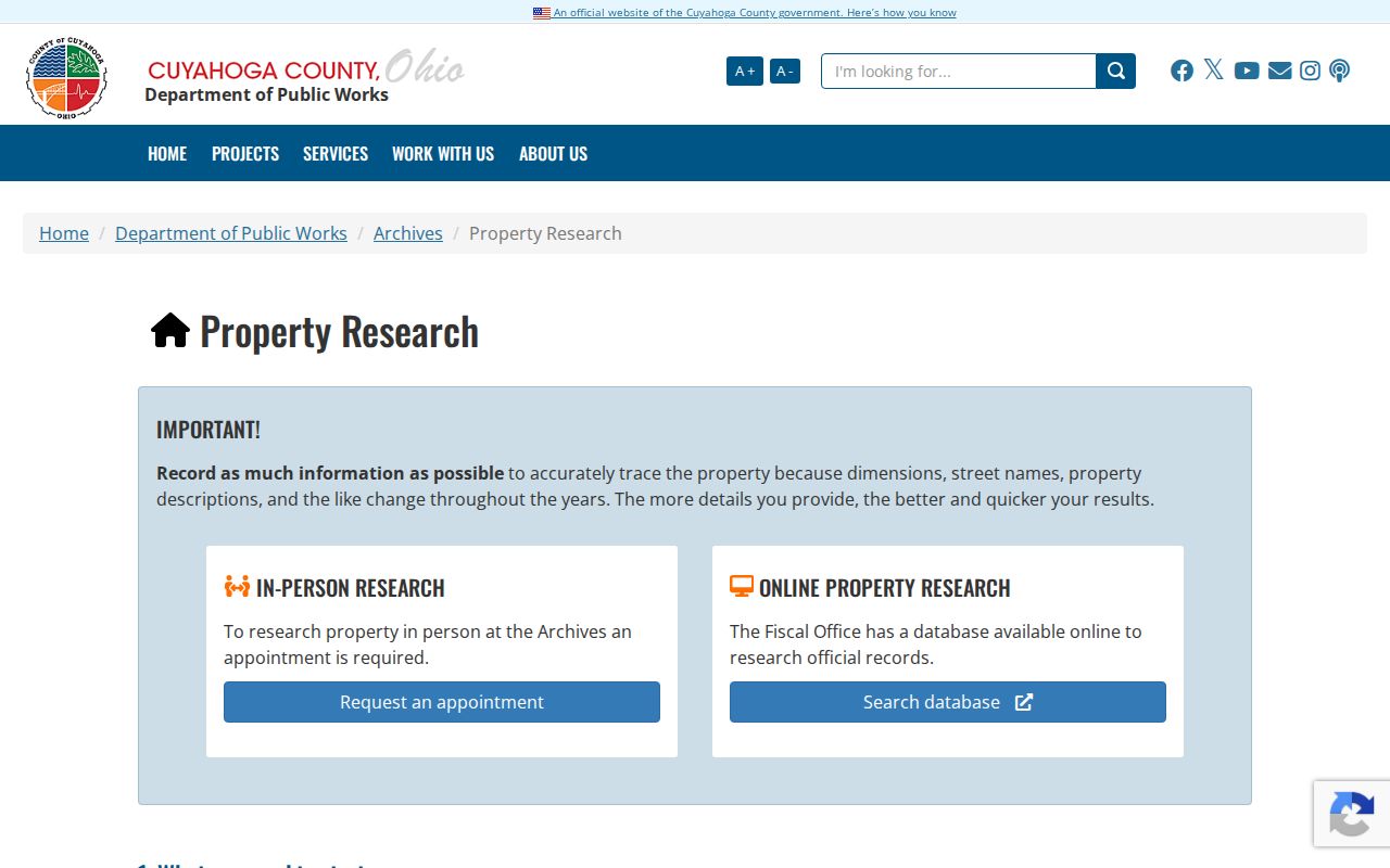
Archives material adds era-specific map, tax, or appraisal context. Record the source date and exact property key, especially when older addresses or descriptions differ.
Lakewood Street Research Terms
Lakewood address records use several keys for the same place. Defining them before comparing results helps prevent a false street match.
- Parcel
- A County identifier for a tract or lot. It connects a current property result to tax, map, transfer, and deed work.
- Situs address
- The physical location of the parcel. It is different from the address used for tax correspondence.
- Legal description
- The deed’s land description, such as a subdivision, sublot, section, or part of a lot. It is the strongest check for the correct property.
- Criss-cross directory
- An address index that can lead from a street address to a listed occupant for the directory’s own date.
Keeping the parcel and legal description with the address trail makes the result more reliable. Those keys are more durable than a mailing address or an unverified name match.
Lakewood Street Privacy Limits
Street-level public records have real boundaries. MyPlace may show a parcel owner and situs, but not every resident. A tax mailing address is not a household roster. A directory entry is tied to a particular publication year. The voter system is person-first, not a street browse, and protects specified information and confidential registrations. Utility customer lists and motor-vehicle personal information are not public street rosters.
Ohio Safe at Home provides address confidentiality for qualifying participants under R.C. 111.41 through 111.47, including special voter-registration treatment. Recorded-document redaction rules are also narrower than a complete erasure of accurate historic property material. For a concern about a County recording or parcel entry, start with the custodian that created it. For a City-held record, use the City’s public-record route. A correction request cannot turn an accurate public record into a private one.
Lawful use. Lakewood address records are for lawful personal research and civic curiosity. Never use them to stalk, harass, intimidate, or harm anyone.